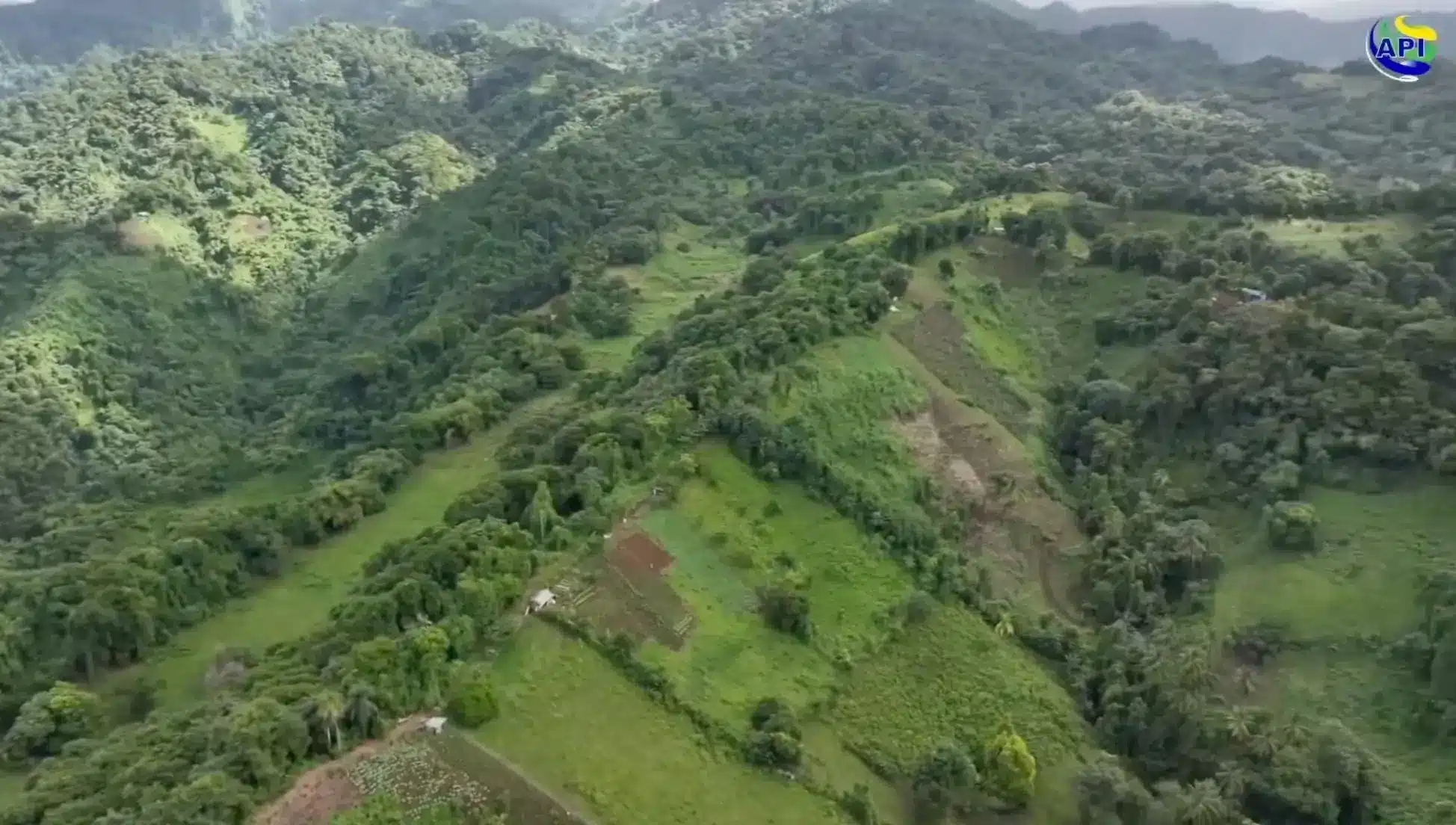
AERIAL MAPPING PROJECT TO TRANSFORM LAND DATA COLLECTION
Minister of Finance Hon Camillo Gonsalves said the new Aerial Mapping programme introduced for the Lands and Surveys department is a bold step in ensuring accurate data of land use in the country.
Speaking at the launch on Tuesday, Minister Gonsalves said for too long the Lands and Surveys department has been working with dated information, data further compromised by the impact of climate change.
“The lack of data impacts us on multiple levels, the lack of quality data, and in the context of a country like St. Vincent and the Grenadines,…with scarce resources and numerable, often insurmountable threats, the availability and quality of data about our country, about our landscape is absolutely critical,” Minister Gonsalves said.
The Minister added that the Aerial Mapping project will also help to make the process of land transactions more efficient, reducing the incidences of land titling disputes. “When we transfer our system from registration by deed to registration by title, that title will have a history of all transactions on the land and it will be the sole record of the history of that land and it won’t require a trip…to a lawyer…you will be able to look up the plot that you own, the plot that you are interested in purchasing,” Minister Gonsalves explained.
The Aerial Mapping project is part of the Caribbean Digital Transformation project (CARDTP), which aims to modernize aspects of the public sector, making it more efficient. The project is being carried out simultaneously in other countries of the OECS.
The Caribbean Digital Transformation Project (CARDTP) is a government-led initiative, financed by the World Bank.
The components of CARDTP comprises a Vincy Single Window for Trade Facilitation (VSWIFT), a Single Window for Land Property Transactions (SWLPTs, E-Government Infrastructure and Operations, Citizen Authentication and Digital Unique Identifier, Data Protection and Privacy, Cybersecurity, E-Payment Platform and E-Tax.


